

Mr. McKillip was an early settler of the Alder Brook Valley, and what is also known as the Alder Brook Mountain Range. The McKillip family was one of many Irish settlers in the region and one of the families whose name lives on forever as part of our Adirondacks.
The McKillip family had a settlement at the base of the Alder Brook Mountains — as did the Duncan Family, both of which are now memorialized with a peak named after them. John Duncan and John McKillip shared land boundaries and John Duncan later sold a portion of his property to John McKillip, including the current peak named Duncan Mountain.

McKillip Mountain is a much smaller mountain, but its rewards are equal to or better than its larger brethren. Seeing as I visited Duncan a few weeks ago, I felt it was time to put McKillip Mountain under my feet. So, that’s what I did — and my wife, Corenne, was game for the adventure too. It would be a walk through history, so to speak, as vintage rock walls lined the old land boundaries (now state land). We would follow an old road into this particular tract of the Taylor Pond Wild Forest. The old road, seen as a trail on most USGS maps, and not seen on many newer versions of the area, was still to this day very apparent.
We drove to the area with less than high hopes of finding the actual road that appeared on the map. But, to our surprise, it was an easy find. It even offered enough room to park a couple cars — not that this is popular destination, but there you go. Aside the road was an apple tree, the first sign of a previous homestead. The road was almost good enough to drive, and by the looks of it, some larger trucks have been doing just that. We hiked up the road as it gained slight elevation with every step, and quickly we arrived at a clearing with more apple trees, and the slight appearance of a gathering place.

We lost the road at this point and wandered through the woods a bit and soon happened upon it once again — now much more overgrown and littered with blow down. From here we moved slightly slower as we got closer to the base of the mountain. The undulating hills along the road added a bit of flavor to the hike, as did the old rock boundary walls on both sides of us, we aptly called this McKillip Road.

The road disappeared into the forest at a large boundary corner, but at that point we just started to follow the rock wall. We kept it close to our left until even that vanished beneath the dead-fall and dense growth. We would stumble upon the old road now and again and attempt to follow it as best we could, but we soon found ourselves among the thick boreal forest — climbing over downed-trees, pushing through chin hobble, and swatting away deer flies. Eventually the road did come back to us and we managed to stay on it for the last 0.1-miles it existed. That left us standing at the base of McKillip Mountain in a wanderlust and with excitement of finding out what was ahead.

The terrain was now rocky and jumbled with loose boulders, and as steep as anything we happened upon in recent memory. As we approached the steeper cliffs, with every other step we would send a small rock tumbling down; actually Corenne sent the rocks tumbling, I spent my time dodging them.

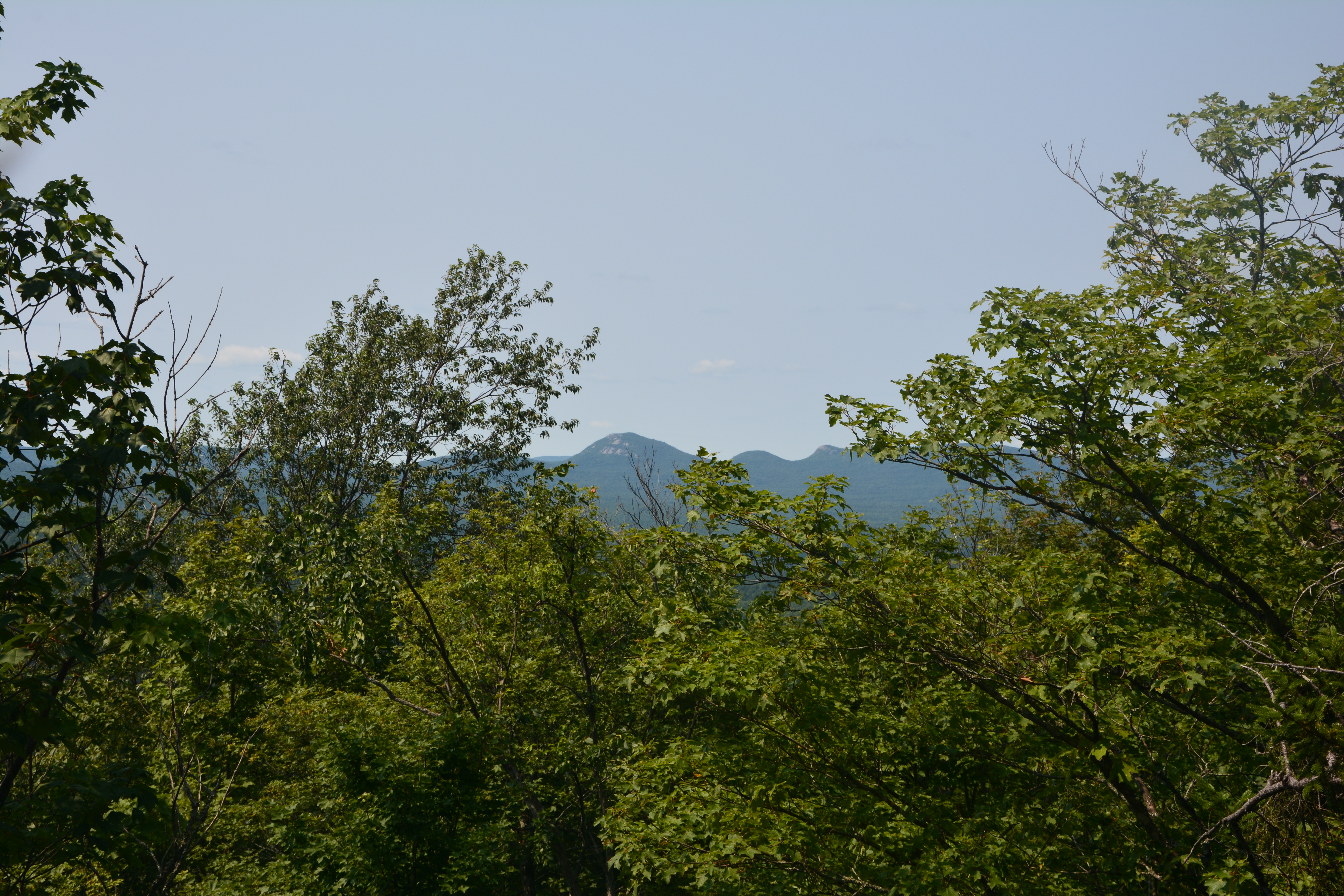
We popped out atop rock slabs with decent views toward the Alder Book Mountains and then quickly beyond that onto the sub-summit — a wooded but appealing respite. The true summit was only a few hundred feet away, and a bit higher than where we currently stood.
The true summit welcomed us in grand style with open rock, steep ledges, and grassy slabs; all of which offered us views much different in style than what we had already encountered. Whiteface and Esther were out in front standing sentinel to all the mountains around it, and the oxbows of Alder Brook broke ground through the wetlands below, creating a route as unique as the region itself.

We relaxed for a good 45 minutes before we cried mercy to the deer flies tormenting us (note: remember the bud dope!). We followed the same route out, with little deviance and managed to find the top of the road with ease. We even managed to find the road in its entirety, giving us an easy stroll out without the need to search for a route — a true treat in an otherwise somewhat inhospitable forest stand.
The entire trip was a 4-hour excursion with nearly an hour on the summit, and we still had a half-day left to jump into Lake Everest and relax on the beach and even grab a treat at the dairy bar.