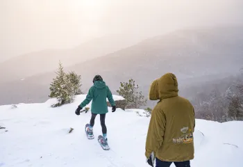
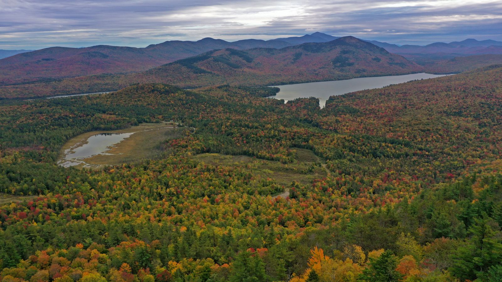
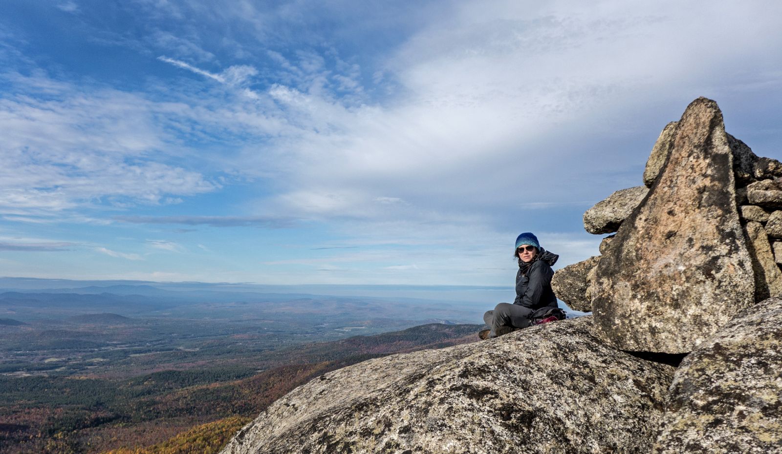
Fall in the Whiteface Region is a splendid time. The valleys fill with vibrant reds, oranges, and yellows, while the deep greens of our needle-bearing trees persist in the higher elevations, creating a magnificent contrast. Sure, you can take the gondola ride to the summit of Little Whiteface, but if you’d rather work for that view we have a few suggestions for you. The hikes are listed below, in order from least to most difficult — enjoy!
Cobble Lookout
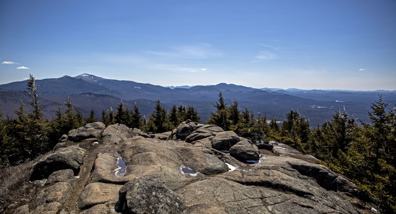
Cobble Lookout is a short, easy hike to a phenomenal view of Whiteface Mountain, the Jay Range (described below), and the Champlain Valley. The entire path is the definition of gradual, as it only gains about 140 feet in elevation in a little over a mile. Enjoy the casual incline — it’s a rare thing to get a panorama this nice for so little effort.
Cobble Lookout stats
- Distance: 1.3 miles one way
- Elevation: about 2,500 feet
- Elevation gain: 140 feet
Silver Lake Mountain
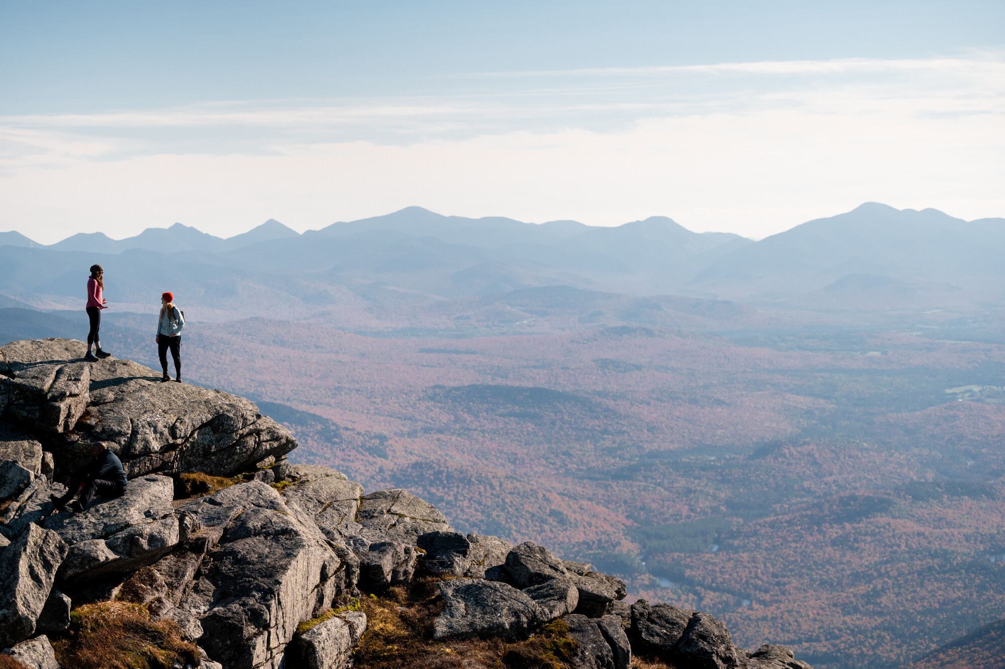
Slightly more difficult than the hike to Cobble lookout, Silver Lake Mountain offers a stunning view of Whiteface Mountain and the smaller peaks of the northern Adirondacks. The well-traveled path up Silver Lake Mountain remains pretty moderate until just before the summit ledges, where there are a couple of steeper pitches to deal with. Despite the steepness, the trail is so short it’s all over before you know it, leaving plenty of time to enjoy the vista.
Silver Lake Mountain stats
- Distance: 0.9 miles one way
- Elevation: 2,374 feet
- Elevation gain: 900 feet
Jay Mountain
The former path to Jay Mountain's awesome, 1.5 mile ridge line was a relentlessly difficult climb that basically just charged straight up the side of the mountain. The current trail is a little bit longer than its predecessor, but it’s a testament to how far the thinking behind trail design has come. Instead of the precipitous, eroded stretches found on the original path, the new route swings back and forth as it gains elevation so it never approaches anything close to the former trail’s steepness.
You’ll be at the low end of the ridge at 2.5 miles; from that point the hike is simply wonderful. The trail ducks in and out of wooded patches as it makes its way along Jay’s rocky spine. There are views the entire time, and they seem to get better with each new perspective. Any place along Jay Mountain's ridge is a reasonable place to turn around, as it’s all scenic, but the 360-degree view from the true summit is totally worth the extra effort required to reach it.
Jay Mountain stats
- Distance: 2.5 miles to the ridge trail, 4 miles to the true summit
- Elevation: 3,600 feet
- Elevation gain: 2,400 feet
Catamount Mountain
If you’re looking for a taste of the High Peaks without the time it takes to ascend one of those lofty summits, give Catamount a try. The path begins deceptively level as it passes through an interesting boreal forest. It soon climbs out of the soft, mossy, lichen-encrusted woods to ascend moderately through a hardwood forest.
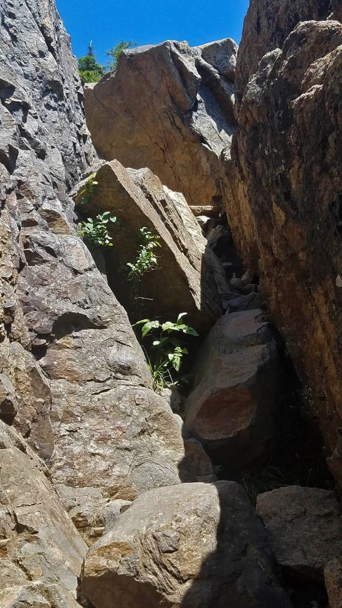
The trail gradually gets steeper, but you haven’t seen anything yet. After an uphill climb the path briefly levels and enters a bit of a clearing, where a massive stone face rises above. It’s a short walk along the base of the cliff to the real treat — a steep climb up a rock chimney. The chimney is basically a gigantic split in the cliff face with a jumbled stone staircase of sorts rising within it. It’s a pretty easy climb but it’s not for the faint of heart — at the top is a grand and somewhat vertigo-inducing view of the valley below, and from that point on there’s more of the same as the path ascends the steep, exposed rock dome of Catamount’s first summit. The view is gorgeous, but the real summit is within reach, towering high above the first perch. Fast hikers will find this view deceptive, as the true summit can be reached rather quickly.
Catamount Mountain stats
- Distance: 1.9 miles on way
- Elevation: 3,168 feet
- Elevation gain: 1,600 feet
After your hike, head into Wilmington for some food and a place to sleep.